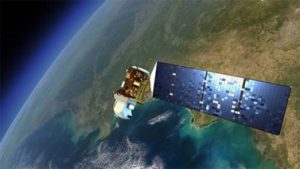
From mavensnotebook.com – This year marked the launch of an OpenET-based website for reporting water use in the Delta, and 70 percent of growers there have already adopted it. OpenET was developed to help people manage water sustainably. The platform gets data in part from Landsat satellites, which are managed by the National Aeronautics and Space Administration and the U.S. Geological Survey. Other inputs include surface weather such as air temperature, humidity, wind speed, and precipitation. Each pixel in Landsat satellite images is 30-meters across, which is about the size of a baseball infield, or—more important for resource management—an average U.S. crop field. Illustration by NASA. Landsat satellites have thermal sensors that detect heat on the Earth’s surface. In agricultural fields, the surface temperature reflects how much water is used by crops. This is due to a process called evaporative cooling, which uses heat from sunlight to evaporate water from, in this case, the leaves and tender stems of plants. In areas where plants use more water, the surface temperature is lower. The same process helps cool people down when they sweat. Measuring crop water use is more important than ever. “With drought and climate change, we’re facing the ever increasing challenge of doing more with less and less water,” says Robyn Grimm, an Environmental Defense Fund hydrologist who is interim director of OpenET. Agriculture accounts for about 80 percent of the water used in California as well as in other western states. (more)